Lisnagat Road near Armoy
Introduction
The photograph on this page of Lisnagat Road near Armoy by Rossographer as part of the Geograph project.
The Geograph project started in 2005 with the aim of publishing, organising and preserving representative images for every square kilometre of Great Britain, Ireland and the Isle of Man.

There are currently over 7.5m images from over 14,400 individuals and you can help contribute to the project by visiting https://www.geograph.org.uk
Lisnagat Road near Armoy
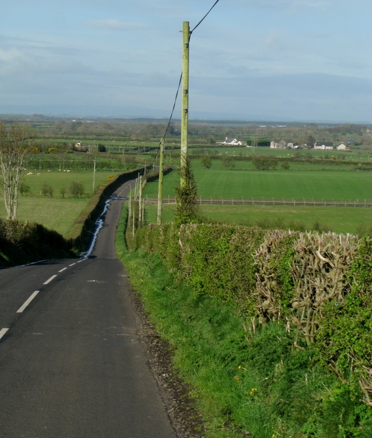
Image: © Rossographer Taken: 11 Apr 2009
Minor road about 2 miles north-west of Armoy in the townland of Carrowreagh Lower.
Images are licensed for reuse under creativecommons.org/licenses/by-sa/2.0
Image Location
Latitude
55.164136
Longitude
-6.379117