Field, Borghastan
Introduction
The photograph on this page of Field, Borghastan by Richard Webb as part of the Geograph project.
The Geograph project started in 2005 with the aim of publishing, organising and preserving representative images for every square kilometre of Great Britain, Ireland and the Isle of Man.

There are currently over 7.5m images from over 14,400 individuals and you can help contribute to the project by visiting https://www.geograph.org.uk
Field, Borghastan
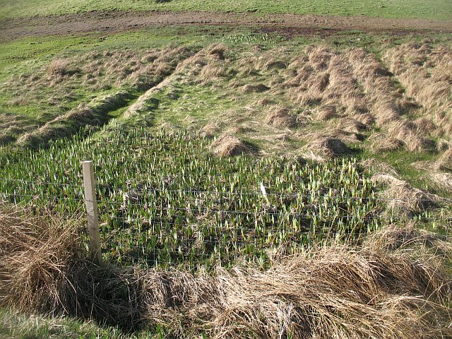
Image: © Richard Webb Taken: 8 Apr 2009
The field is beside the route of a proposed railway on the Carloway Loch. Damper areas are indicated by the rapidly growing flag iris, a favourite hiding place of corncrakes.
Images are licensed for reuse under creativecommons.org/licenses/by-sa/2.0
Image Location
Latitude
58.280898
Longitude
-6.783598