Dappers Lane
Introduction
The photograph on this page of Dappers Lane by Simon Carey as part of the Geograph project.
The Geograph project started in 2005 with the aim of publishing, organising and preserving representative images for every square kilometre of Great Britain, Ireland and the Isle of Man.

There are currently over 7.5m images from over 14,400 individuals and you can help contribute to the project by visiting https://www.geograph.org.uk
Dappers Lane
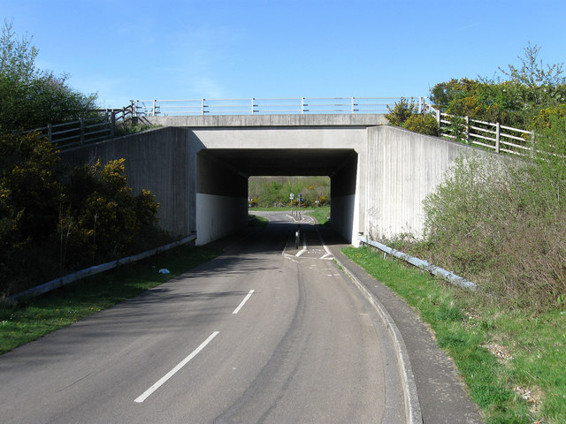
Image: © Simon Carey Taken: 13 Apr 2009
Once formed a junction with Arundel Road, the main A27, but now goes under after the road was made into a dual carriageway. At the far end of the tunnel turn left into Swillage Lane and right to follow the old course of the A27 to Patching.
Images are licensed for reuse under creativecommons.org/licenses/by-sa/2.0
Image Location
Latitude
50.840001
Longitude
-0.478312