Ludlam Wood, west of Heather
Introduction
The photograph on this page of Ludlam Wood, west of Heather by Jonathan Billinger as part of the Geograph project.
The Geograph project started in 2005 with the aim of publishing, organising and preserving representative images for every square kilometre of Great Britain, Ireland and the Isle of Man.

There are currently over 7.5m images from over 14,400 individuals and you can help contribute to the project by visiting https://www.geograph.org.uk
Ludlam Wood, west of Heather
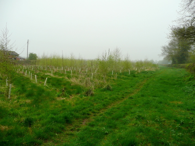
Image: © Jonathan Billinger Taken: 16 Apr 2009
Planted in 2004/05 as part of the scheme to create the much larger National Forest. This block of 100 acres is a tiny part of the envisioned 200 sq. miles of countryside between Needwood Forest in the west and Charnwood Forest in the east which will eventually be afforested with 30,000,000 trees..
Images are licensed for reuse under creativecommons.org/licenses/by-sa/2.0
Image Location
Latitude
52.693901
Longitude
-1.436081