Burtersett Institute
Introduction
The photograph on this page of Burtersett Institute by Les Hull as part of the Geograph project.
The Geograph project started in 2005 with the aim of publishing, organising and preserving representative images for every square kilometre of Great Britain, Ireland and the Isle of Man.

There are currently over 7.5m images from over 14,400 individuals and you can help contribute to the project by visiting https://www.geograph.org.uk
Burtersett Institute
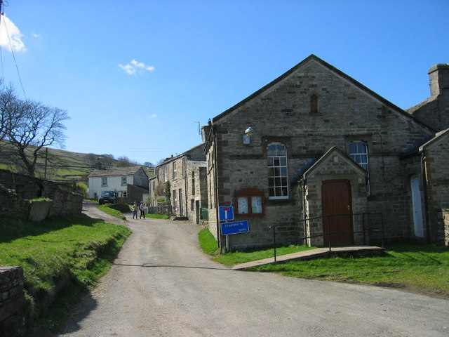
Image: © Les Hull Taken: 12 Apr 2009
An 1895 OS Map has this building as a Congregational Chapel and School. The 1912 and 1914 maps only mention this building as a Congregational Church which implies the school, may have moved to new premises.
Images are licensed for reuse under creativecommons.org/licenses/by-sa/2.0
Image Location
Latitude
54.298115
Longitude
-2.169444