Church Lane
Introduction
The photograph on this page of Church Lane by Simon Carey as part of the Geograph project.
The Geograph project started in 2005 with the aim of publishing, organising and preserving representative images for every square kilometre of Great Britain, Ireland and the Isle of Man.

There are currently over 7.5m images from over 14,400 individuals and you can help contribute to the project by visiting https://www.geograph.org.uk
Church Lane
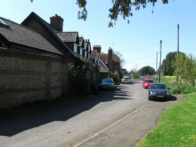
Image: © Simon Carey Taken: 13 Apr 2009
Linking the A284 with the church whose lych gate can be seen in the distance. Lyminster, pronounced 'Limster', dates back to the 9th century when a monastery was established by the Saxons with a Benedictine nunnery established a century later which lasted until its suppression at the Reformation.
Images are licensed for reuse under creativecommons.org/licenses/by-sa/2.0
Image Location
Latitude
50.833519
Longitude
-0.548392