Overhanging cliff, Knaresborough
Introduction
The photograph on this page of Overhanging cliff, Knaresborough by Derek Harper as part of the Geograph project.
The Geograph project started in 2005 with the aim of publishing, organising and preserving representative images for every square kilometre of Great Britain, Ireland and the Isle of Man.

There are currently over 7.5m images from over 14,400 individuals and you can help contribute to the project by visiting https://www.geograph.org.uk
Overhanging cliff, Knaresborough
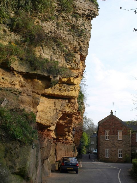
Image: © Derek Harper Taken: 11 Apr 2009
Castle Crag overhangs Waterside on the east bank of the Nidd, below Knaresborough Castle. On the right is part of the Castle Mills complex; possibly originally a paper mill, it operated as a cotton and then a linen mill until 1972.
Images are licensed for reuse under creativecommons.org/licenses/by-sa/2.0
Image Location
Latitude
54.006955
Longitude
-1.470519