A dismantled railway at Mangerton
Introduction
The photograph on this page of A dismantled railway at Mangerton by Walter Baxter as part of the Geograph project.
The Geograph project started in 2005 with the aim of publishing, organising and preserving representative images for every square kilometre of Great Britain, Ireland and the Isle of Man.

There are currently over 7.5m images from over 14,400 individuals and you can help contribute to the project by visiting https://www.geograph.org.uk
A dismantled railway at Mangerton
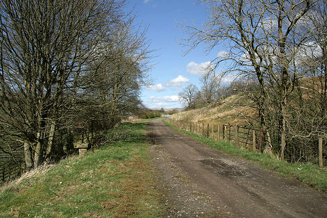
Image: © Walter Baxter Taken: 11 Apr 2009
This is the trackbed of the former Waverley Railway Line that was closed in 1969. At the edge of the square to the south of Mangerton Farm.
Images are licensed for reuse under creativecommons.org/licenses/by-sa/2.0
Image Location
Latitude
55.160625
Longitude
-2.817846