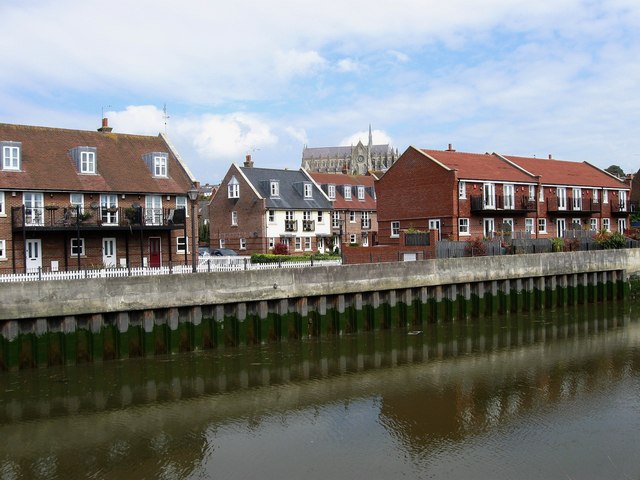
Surrey Wharf
Introduction
The photograph on this page of Surrey Wharf by Simon Carey as part of the Geograph project.
The Geograph project started in 2005 with the aim of publishing, organising and preserving representative images for every square kilometre of Great Britain, Ireland and the Isle of Man.
There are currently over 7.5m images from over 14,400 individuals and you can help contribute to the project by visiting https://www.geograph.org.uk

Image: © Simon Carey Taken: 13 Apr 2009
Redeveloped quays near the by-pass bridge. Much of the river traffic decreased from the mid 19th century as the port of Littlehampton was developed and any remaining ended when the swing bridge at Ford was replaced in 1932 when the West Coastway line was electrified. However, the post 194 local plan envisaged the waterfront area to retain light industries but these too had moved by the 1980s the last to go being a sawmill. Consequently, the waterfront has now lost any remaining industrial buildings and replaced with waterside homes.

