Maltravers Street
Introduction
The photograph on this page of Maltravers Street by Simon Carey as part of the Geograph project.
The Geograph project started in 2005 with the aim of publishing, organising and preserving representative images for every square kilometre of Great Britain, Ireland and the Isle of Man.

There are currently over 7.5m images from over 14,400 individuals and you can help contribute to the project by visiting https://www.geograph.org.uk
Maltravers Street
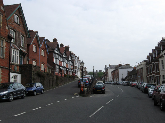
Image: © Simon Carey Taken: 13 Apr 2009
One of the earliest streets laid out in Arundel originally being the main road to Chichester until it was finally replaced by a by-pass in 1973. It also hosted the market up to the 18th century before that moved into nearby High Street, after that the name changed from Market Street to its current name and became the main residential street of the town enhanced by the construction of the parade on the left in the 1850s.
Images are licensed for reuse under creativecommons.org/licenses/by-sa/2.0
Image Location
Latitude
50.854137
Longitude
-0.557555