The A3123 approaching Berry Down Cross
Introduction
The photograph on this page of The A3123 approaching Berry Down Cross by Roger A Smith as part of the Geograph project.
The Geograph project started in 2005 with the aim of publishing, organising and preserving representative images for every square kilometre of Great Britain, Ireland and the Isle of Man.

There are currently over 7.5m images from over 14,400 individuals and you can help contribute to the project by visiting https://www.geograph.org.uk
The A3123 approaching Berry Down Cross
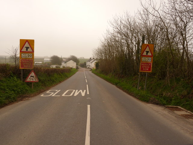
Image: © Roger A Smith Taken: 15 Apr 2009
Behind the photographer is Berrydown cross. The map clearly lists the two junctions with different arrangement of the same name.
Images are licensed for reuse under creativecommons.org/licenses/by-sa/2.0
Image Location


Leaflet Map data © OpenStreetMap
Latitude
51.175543
Longitude
-4.044916