Wollaston Fish Too, 131 Enville Road
Introduction
The photograph on this page of Wollaston Fish Too, 131 Enville Road by P L Chadwick as part of the Geograph project.
The Geograph project started in 2005 with the aim of publishing, organising and preserving representative images for every square kilometre of Great Britain, Ireland and the Isle of Man.

There are currently over 7.5m images from over 14,400 individuals and you can help contribute to the project by visiting https://www.geograph.org.uk
Wollaston Fish Too, 131 Enville Road
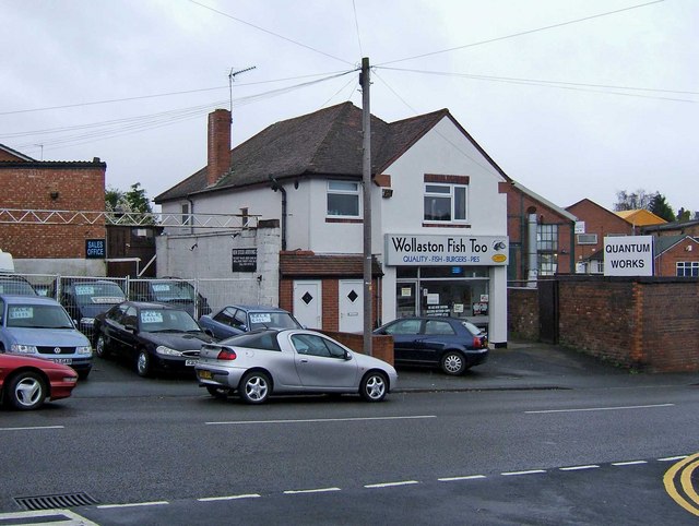
Image: © P L Chadwick Taken: 9 Apr 2009
It's difficult for a non-local to know where Wollaston, now a suburb of Stourbridge, ends and where Stourbridge proper begins. But this fish & chip etc shop seems to think it is in Wollaston, so presumably this is more or less where Wollaston begins.
Images are licensed for reuse under creativecommons.org/licenses/by-sa/2.0
Image Location
Latitude
52.457987
Longitude
-2.155512