Hemel Hempstead: Woodwells Cemetery
Introduction
The photograph on this page of Hemel Hempstead: Woodwells Cemetery by Nigel Cox as part of the Geograph project.
The Geograph project started in 2005 with the aim of publishing, organising and preserving representative images for every square kilometre of Great Britain, Ireland and the Isle of Man.

There are currently over 7.5m images from over 14,400 individuals and you can help contribute to the project by visiting https://www.geograph.org.uk
Hemel Hempstead: Woodwells Cemetery
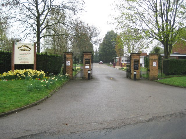
Image: © Nigel Cox Taken: 12 Apr 2009
This Dacorum Borough Council run cemetery was opened in 1961 and has a site currently extending over 12 acres. It is on Buncefield Lane and is named after Woodwell's Farm which was a little way to the north near the site of the current children's nursery.
Images are licensed for reuse under creativecommons.org/licenses/by-sa/2.0
Image Location
Latitude
51.757832
Longitude
-0.428243