Warwick Technology Park, Gallows Hill
Introduction
The photograph on this page of Warwick Technology Park, Gallows Hill by Robin Stott as part of the Geograph project.
The Geograph project started in 2005 with the aim of publishing, organising and preserving representative images for every square kilometre of Great Britain, Ireland and the Isle of Man.

There are currently over 7.5m images from over 14,400 individuals and you can help contribute to the project by visiting https://www.geograph.org.uk
Warwick Technology Park, Gallows Hill
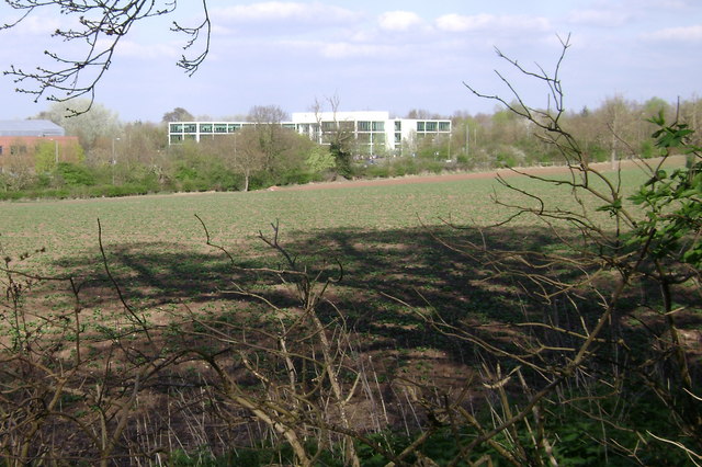
Image: © Robin Stott Taken: 13 Apr 2009
Most of the Technology Park lies in Image but its south-eastern corner extends into the present square. The white cuboid (and largely empty) Icenicentre catches the attention of travellers south on the A425 Banbury Road
Images are licensed for reuse under creativecommons.org/licenses/by-sa/2.0
Image Location
Latitude
52.272451
Longitude
-1.564694