Railway bridge
Introduction
The photograph on this page of Railway bridge by David Lang as part of the Geograph project.
The Geograph project started in 2005 with the aim of publishing, organising and preserving representative images for every square kilometre of Great Britain, Ireland and the Isle of Man.

There are currently over 7.5m images from over 14,400 individuals and you can help contribute to the project by visiting https://www.geograph.org.uk
Railway bridge
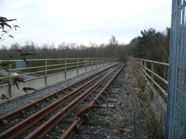
Image: © David Lang Taken: 4 Jan 2009
Bridge over the M4 taking the disused railway line from INCO Mond to the main line.
Images are licensed for reuse under creativecommons.org/licenses/by-sa/2.0
Image Location
Latitude
51.673933
Longitude
-3.894458