The Health Centre on Finney Lane
Introduction
The photograph on this page of The Health Centre on Finney Lane by Geoff Royle as part of the Geograph project.
The Geograph project started in 2005 with the aim of publishing, organising and preserving representative images for every square kilometre of Great Britain, Ireland and the Isle of Man.

There are currently over 7.5m images from over 14,400 individuals and you can help contribute to the project by visiting https://www.geograph.org.uk
The Health Centre on Finney Lane
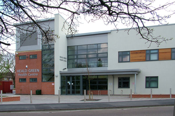
Image: © Geoff Royle Taken: 12 Apr 2009
This draughtsman's dream has been built on the site of an earlier '60s surgery which was bungalow height. Understandably, many villagers have been overawed by its arrival.
Images are licensed for reuse under creativecommons.org/licenses/by-sa/2.0
Image Location
Latitude
53.369923
Longitude
-2.229005