Footpath Junction, Poling Copse
Introduction
The photograph on this page of Footpath Junction, Poling Copse by Simon Carey as part of the Geograph project.
The Geograph project started in 2005 with the aim of publishing, organising and preserving representative images for every square kilometre of Great Britain, Ireland and the Isle of Man.

There are currently over 7.5m images from over 14,400 individuals and you can help contribute to the project by visiting https://www.geograph.org.uk
Footpath Junction, Poling Copse
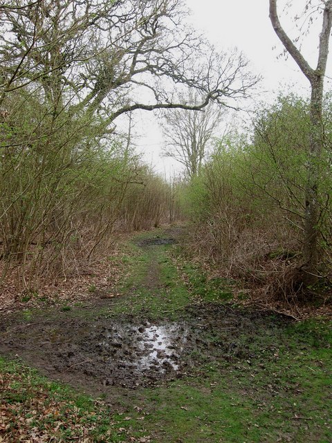
Image: © Simon Carey Taken: 13 Apr 2009
The path from Crossbush Lane to Clay Lane runs left to route, that linking Blakehurst Lane and Crossbush runs straight ahead.
Images are licensed for reuse under creativecommons.org/licenses/by-sa/2.0
Image Location
Latitude
50.845149
Longitude
-0.522037