Crossbush Lane
Introduction
The photograph on this page of Crossbush Lane by Simon Carey as part of the Geograph project.
The Geograph project started in 2005 with the aim of publishing, organising and preserving representative images for every square kilometre of Great Britain, Ireland and the Isle of Man.

There are currently over 7.5m images from over 14,400 individuals and you can help contribute to the project by visiting https://www.geograph.org.uk
Crossbush Lane
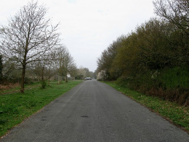
Image: © Simon Carey Taken: 13 Apr 2009
Until the early 1990s this was the main A27 having just reverted to a single carriageway west of Poling Corner. Now a quiet backwater enabling the cars in the distance to park carefree outside their homes in Pottery Cottages.
Images are licensed for reuse under creativecommons.org/licenses/by-sa/2.0
Image Location
Latitude
50.843263
Longitude
-0.522238