Council Cottages, Poling Corner
Introduction
The photograph on this page of Council Cottages, Poling Corner by Simon Carey as part of the Geograph project.
The Geograph project started in 2005 with the aim of publishing, organising and preserving representative images for every square kilometre of Great Britain, Ireland and the Isle of Man.

There are currently over 7.5m images from over 14,400 individuals and you can help contribute to the project by visiting https://www.geograph.org.uk
Council Cottages, Poling Corner
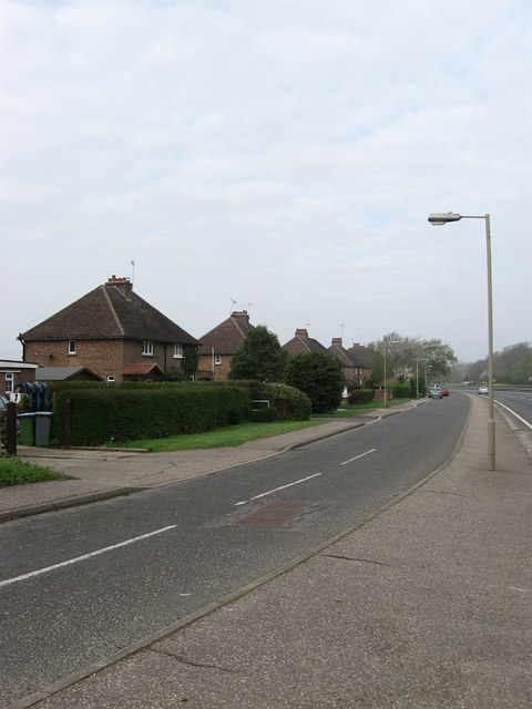
Image: © Simon Carey Taken: 13 Apr 2009
Originally built on the A27 during the 1930s but now have their own slip road next to the busy dual carriageway. As the name indicates originally a small council estate built for local agricultural workers.
Images are licensed for reuse under creativecommons.org/licenses/by-sa/2.0
Image Location
Latitude
50.842474
Longitude
-0.516724