Niki's Bar On Balmoral Road
Introduction
The photograph on this page of Niki's Bar On Balmoral Road by Mary and Angus Hogg as part of the Geograph project.
The Geograph project started in 2005 with the aim of publishing, organising and preserving representative images for every square kilometre of Great Britain, Ireland and the Isle of Man.

There are currently over 7.5m images from over 14,400 individuals and you can help contribute to the project by visiting https://www.geograph.org.uk
Niki's Bar On Balmoral Road
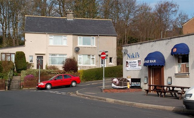
Image: © Mary and Angus Hogg Taken: 13 Apr 2009
Located in the post-war Balmoral council housing area on the lower slopes of Meigle Hill.
Images are licensed for reuse under creativecommons.org/licenses/by-sa/2.0
Image Location
Latitude
55.613954
Longitude
-2.819321