Church Road
Introduction
The photograph on this page of Church Road by Simon Carey as part of the Geograph project.
The Geograph project started in 2005 with the aim of publishing, organising and preserving representative images for every square kilometre of Great Britain, Ireland and the Isle of Man.

There are currently over 7.5m images from over 14,400 individuals and you can help contribute to the project by visiting https://www.geograph.org.uk
Church Road
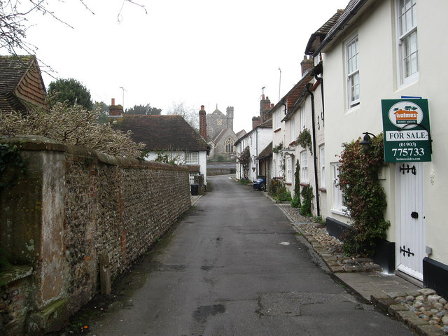
Image: © Simon Carey Taken: 13 Apr 2009
Old area of the village connecting the Lamb Inn with St Margaret's Church. The road itself has had a number of names over the years, some alluding to the nearby church such as Lane, Row and Walk, from the 19th century it became known as Bakers Row after the family who owned most the property in the street.
Images are licensed for reuse under creativecommons.org/licenses/by-sa/2.0
Image Location
Latitude
50.829027
Longitude
-0.485059