The Old House, High Street
Introduction
The photograph on this page of The Old House, High Street by Simon Carey as part of the Geograph project.
The Geograph project started in 2005 with the aim of publishing, organising and preserving representative images for every square kilometre of Great Britain, Ireland and the Isle of Man.

There are currently over 7.5m images from over 14,400 individuals and you can help contribute to the project by visiting https://www.geograph.org.uk
The Old House, High Street
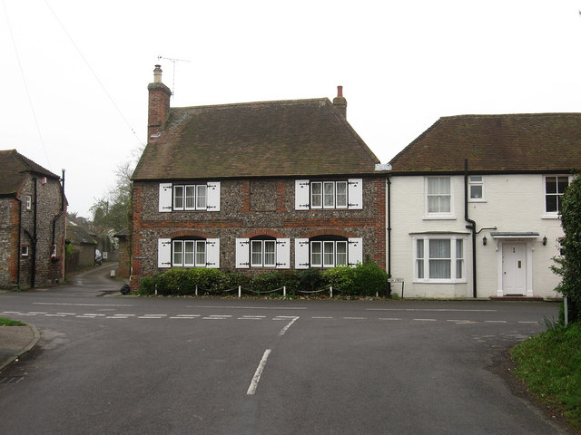
Image: © Simon Carey Taken: 13 Apr 2009
Viewed from Weavers Hill. To the left is Old Mill Lane and to the right Bennington House. The cottage was previously known as East End Cottage.
Images are licensed for reuse under creativecommons.org/licenses/by-sa/2.0
Image Location
Latitude
50.828318
Longitude
-0.478976