Ecclesden Mill
Introduction
The photograph on this page of Ecclesden Mill by Simon Carey as part of the Geograph project.
The Geograph project started in 2005 with the aim of publishing, organising and preserving representative images for every square kilometre of Great Britain, Ireland and the Isle of Man.

There are currently over 7.5m images from over 14,400 individuals and you can help contribute to the project by visiting https://www.geograph.org.uk
Ecclesden Mill
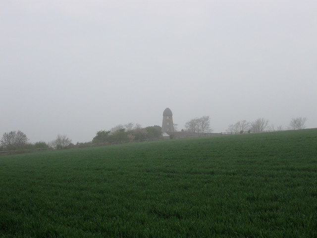
Image: © Simon Carey Taken: 13 Apr 2009
Viewed from the bridleway that links Highdown Hill to Angmering on a misty morning not long after sunrise. See Image for more details.
Images are licensed for reuse under creativecommons.org/licenses/by-sa/2.0
Image Location
Latitude
50.829586
Longitude
-0.465871