The old St Fillan's railway track
Introduction
The photograph on this page of The old St Fillan's railway track by Bill Clark as part of the Geograph project.
The Geograph project started in 2005 with the aim of publishing, organising and preserving representative images for every square kilometre of Great Britain, Ireland and the Isle of Man.

There are currently over 7.5m images from over 14,400 individuals and you can help contribute to the project by visiting https://www.geograph.org.uk
The old St Fillan's railway track
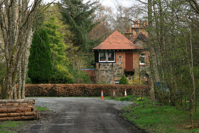
Image: © Bill Clark Taken: 13 Apr 2009
Going east to Comrie the old railway passes by this house which appears to have a converted signal box. A platform and siding are also visible by the house.
Images are licensed for reuse under creativecommons.org/licenses/by-sa/2.0
Image Location
Latitude
56.382717
Longitude
-4.041539