Wilton Road, Shirley
Introduction
The photograph on this page of Wilton Road, Shirley by Jim Champion as part of the Geograph project.
The Geograph project started in 2005 with the aim of publishing, organising and preserving representative images for every square kilometre of Great Britain, Ireland and the Isle of Man.

There are currently over 7.5m images from over 14,400 individuals and you can help contribute to the project by visiting https://www.geograph.org.uk
Wilton Road, Shirley
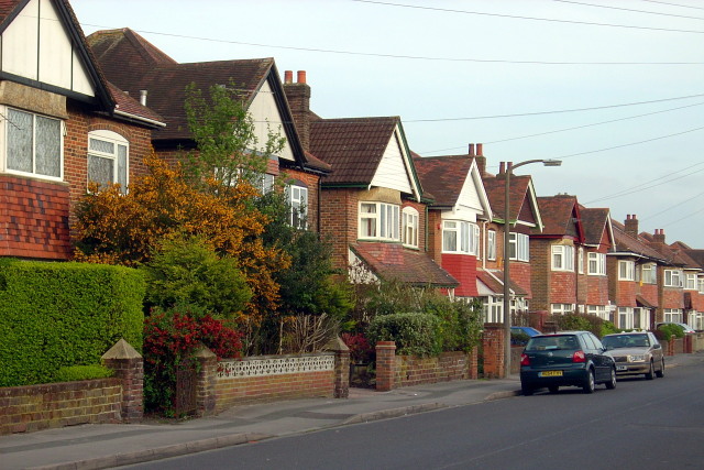
Image: © Jim Champion Taken: 12 Apr 2009
Detached houses on the left, semi-detached houses on the right. All on the east side of Wilton Road between Wilton Crescent and Upper Shirley Avenue.
Images are licensed for reuse under creativecommons.org/licenses/by-sa/2.0
Image Location
Latitude
50.926825
Longitude
-1.424408