Footpath to Gipsy Hill Farm
Introduction
The photograph on this page of Footpath to Gipsy Hill Farm by David Stowell as part of the Geograph project.
The Geograph project started in 2005 with the aim of publishing, organising and preserving representative images for every square kilometre of Great Britain, Ireland and the Isle of Man.

There are currently over 7.5m images from over 14,400 individuals and you can help contribute to the project by visiting https://www.geograph.org.uk
Footpath to Gipsy Hill Farm
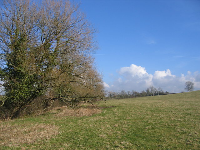
Image: © David Stowell Taken: 18 Feb 2006
Looking NE as the footpath follows the stream and hedge from the Aston Cantlow Road. The land rises to the right towards Wilmcote and further up the field a pair of hares were racing around.
Images are licensed for reuse under creativecommons.org/licenses/by-sa/2.0
Image Location
Latitude
52.226294
Longitude
-1.777426