Jacobs Well
Introduction
The photograph on this page of Jacobs Well by chestertouristcom as part of the Geograph project.
The Geograph project started in 2005 with the aim of publishing, organising and preserving representative images for every square kilometre of Great Britain, Ireland and the Isle of Man.

There are currently over 7.5m images from over 14,400 individuals and you can help contribute to the project by visiting https://www.geograph.org.uk
Jacobs Well
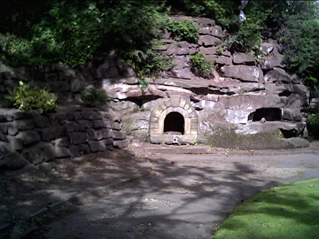
Image: © chestertouristcom Taken: 1 Jul 2004
An old well since dried up. In Grosvenor Park, Chester.
Images are licensed for reuse under creativecommons.org/licenses/by-sa/2.0
Image Location


Leaflet Map data © OpenStreetMap
Latitude
53.192353
Longitude
-2.877035