The road to Great Bedwyn, west of Chisbury
Introduction
The photograph on this page of The road to Great Bedwyn, west of Chisbury by Brian Robert Marshall as part of the Geograph project.
The Geograph project started in 2005 with the aim of publishing, organising and preserving representative images for every square kilometre of Great Britain, Ireland and the Isle of Man.

There are currently over 7.5m images from over 14,400 individuals and you can help contribute to the project by visiting https://www.geograph.org.uk
The road to Great Bedwyn, west of Chisbury
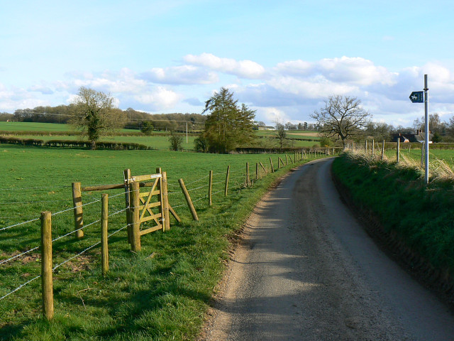
Image: © Brian Robert Marshall Taken: 8 Apr 2009
The bridleway at the left leads north-east to the A4 at Harrow Farm http://www.geograph.org.uk/photo/99649
Images are licensed for reuse under creativecommons.org/licenses/by-sa/2.0
Image Location
Latitude
51.393424
Longitude
-1.62353