Chisbury Lane Farm, west of Chisbury
Introduction
The photograph on this page of Chisbury Lane Farm, west of Chisbury by Brian Robert Marshall as part of the Geograph project.
The Geograph project started in 2005 with the aim of publishing, organising and preserving representative images for every square kilometre of Great Britain, Ireland and the Isle of Man.

There are currently over 7.5m images from over 14,400 individuals and you can help contribute to the project by visiting https://www.geograph.org.uk
Chisbury Lane Farm, west of Chisbury
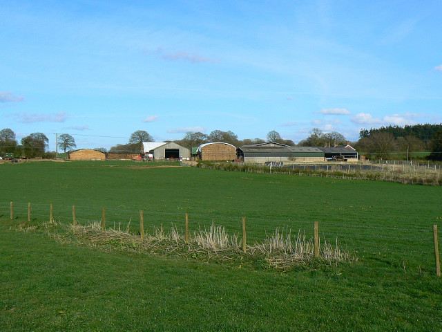
Image: © Brian Robert Marshall Taken: 8 Apr 2009
The farm comprises a number of large buildings probably used in part for housing cattle.
Images are licensed for reuse under creativecommons.org/licenses/by-sa/2.0
Image Location
Latitude
51.394051
Longitude
-1.622807