Buncefield: Three Cherry Trees Lane
Introduction
The photograph on this page of Buncefield: Three Cherry Trees Lane by Nigel Cox as part of the Geograph project.
The Geograph project started in 2005 with the aim of publishing, organising and preserving representative images for every square kilometre of Great Britain, Ireland and the Isle of Man.

There are currently over 7.5m images from over 14,400 individuals and you can help contribute to the project by visiting https://www.geograph.org.uk
Buncefield: Three Cherry Trees Lane
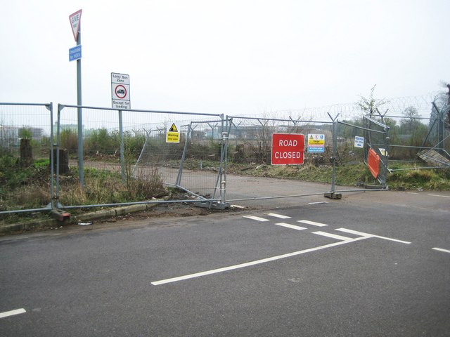
Image: © Nigel Cox Taken: 12 Apr 2009
Three years and four months after the Buncefield Oil Depot explosion and Three Cherry Trees Lane remains closed to the east of its junction with Buncefield Lane. The oil tank that first exploded would have been in the compound enclosed with the Y-shaped fence posts.
Images are licensed for reuse under creativecommons.org/licenses/by-sa/2.0
Image Location
Latitude
51.767742
Longitude
-0.429638