Bridleway near Lower South Farm 3
Introduction
The photograph on this page of Bridleway near Lower South Farm 3 by Andy Gryce as part of the Geograph project.
The Geograph project started in 2005 with the aim of publishing, organising and preserving representative images for every square kilometre of Great Britain, Ireland and the Isle of Man.

There are currently over 7.5m images from over 14,400 individuals and you can help contribute to the project by visiting https://www.geograph.org.uk
Bridleway near Lower South Farm 3
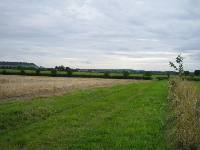
Image: © Andy Gryce Taken: 17 Aug 2008
Looking south, this bridleway comes from the hamlet of Shipton Lee behind the camera, and goes to village of Woodham, a distance of 4km across relatively uninhabited farmland. This view is taken from the same spot as in Image, but in the opposite direction. In the centre distance is Lower South Farm, and beyond that to the left is Waddesdon Hill, the location of Waddesdon Manor.
Images are licensed for reuse under creativecommons.org/licenses/by-sa/2.0
Image Location
Latitude
51.872424
Longitude
-0.947614