Bend in bridleway
Introduction
The photograph on this page of Bend in bridleway by Dave Spicer as part of the Geograph project.
The Geograph project started in 2005 with the aim of publishing, organising and preserving representative images for every square kilometre of Great Britain, Ireland and the Isle of Man.

There are currently over 7.5m images from over 14,400 individuals and you can help contribute to the project by visiting https://www.geograph.org.uk
Bend in bridleway
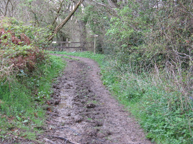
Image: © Dave Spicer Taken: 11 Apr 2009
The spot where I'm standing is where the old roman road Stane Street turned slightly to the NE
Images are licensed for reuse under creativecommons.org/licenses/by-sa/2.0
Image Location
Latitude
50.924438
Longitude
-0.584977