The Enagh Road, Waringsford
Introduction
The photograph on this page of The Enagh Road, Waringsford by Albert Bridge as part of the Geograph project.
The Geograph project started in 2005 with the aim of publishing, organising and preserving representative images for every square kilometre of Great Britain, Ireland and the Isle of Man.

There are currently over 7.5m images from over 14,400 individuals and you can help contribute to the project by visiting https://www.geograph.org.uk
The Enagh Road, Waringsford
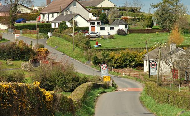
Image: © Albert Bridge Taken: 11 Apr 2009
Although not apparent here, Waringsford has expanded with many new houses built in recent years. This is the approach from the Castlewellan direction.
Images are licensed for reuse under creativecommons.org/licenses/by-sa/2.0
Image Location
Latitude
54.372258
Longitude
-6.106084