Flooded Ditch near Warmwell
Introduction
The photograph on this page of Flooded Ditch near Warmwell by Nigel Mykura as part of the Geograph project.
The Geograph project started in 2005 with the aim of publishing, organising and preserving representative images for every square kilometre of Great Britain, Ireland and the Isle of Man.

There are currently over 7.5m images from over 14,400 individuals and you can help contribute to the project by visiting https://www.geograph.org.uk
Flooded Ditch near Warmwell
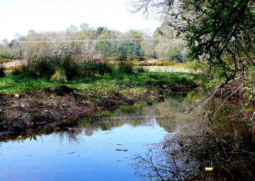
Image: © Nigel Mykura Taken: 12 Apr 2009
This ditch is at the side of the Jubilee Way long distance footpath where it runs to the east of Black Hill
Images are licensed for reuse under creativecommons.org/licenses/by-sa/2.0
Image Location
Latitude
50.682639
Longitude
-2.360178