Bridleway near West Knighton
Introduction
The photograph on this page of Bridleway near West Knighton by Nigel Mykura as part of the Geograph project.
The Geograph project started in 2005 with the aim of publishing, organising and preserving representative images for every square kilometre of Great Britain, Ireland and the Isle of Man.

There are currently over 7.5m images from over 14,400 individuals and you can help contribute to the project by visiting https://www.geograph.org.uk
Bridleway near West Knighton
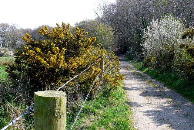
Image: © Nigel Mykura Taken: 12 Apr 2009
This bridleway runs from the A352 near Broadmayne north west past Fryer Mayne and Fryer Mayne Dairy towards Warmwell Heath. It is both a farm track and part of the Jubilee trail at this point near Black Hill.
Images are licensed for reuse under creativecommons.org/licenses/by-sa/2.0
Image Location
Latitude
50.681638
Longitude
-2.363992