Footpath From Marks Farm
Introduction
The photograph on this page of Footpath From Marks Farm by Glyn Baker as part of the Geograph project.
The Geograph project started in 2005 with the aim of publishing, organising and preserving representative images for every square kilometre of Great Britain, Ireland and the Isle of Man.

There are currently over 7.5m images from over 14,400 individuals and you can help contribute to the project by visiting https://www.geograph.org.uk
Footpath From Marks Farm
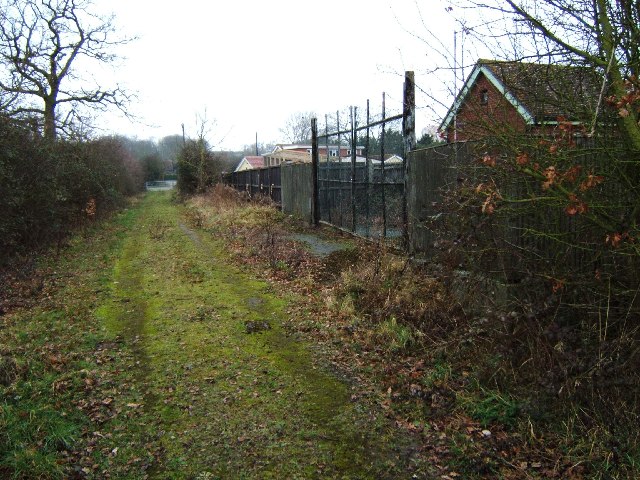
Image: © Glyn Baker Taken: 19 Feb 2006
This is the footpath that runs from Woodham Rd to Marks Farm. The photo was taken looking towards Woodham Road. I believe the building on the right to be a water pumping station however there were no signs to indicate ownership.
Images are licensed for reuse under creativecommons.org/licenses/by-sa/2.0
Image Location
Latitude
51.633713
Longitude
0.572074