Wilbury Road
Introduction
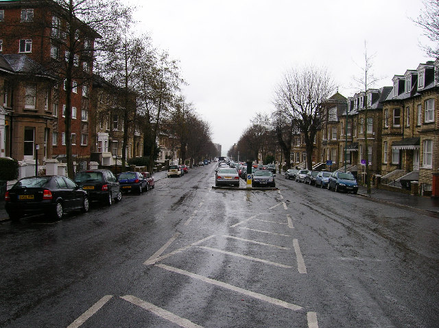
The photograph on this page of Wilbury Road by Simon Carey as part of the Geograph project.
The Geograph project started in 2005 with the aim of publishing, organising and preserving representative images for every square kilometre of Great Britain, Ireland and the Isle of Man.
There are currently over 7.5m images from over 14,400 individuals and you can help contribute to the project by visiting https://www.geograph.org.uk

Image: © Simon Carey Taken: 19 Feb 2006
This part of Hove was built up from the 1870s onwards when the Stanford Estate was given over to commercial development. This minor road heads south to the sea and gives some idea to space afforded to the roads and avenues for the well to do, consequently unlike many other Victorian roads this one is wide enough to have room for cars to park in the middle. The original buildings are by and large untouched with the exception of a few blocks of flats on the eastern side. This view looks south from the curve in the road near the junction with the B2120.

