Leverhulme Drive
Introduction
The photograph on this page of Leverhulme Drive by Stephen Branley as part of the Geograph project.
The Geograph project started in 2005 with the aim of publishing, organising and preserving representative images for every square kilometre of Great Britain, Ireland and the Isle of Man.

There are currently over 7.5m images from over 14,400 individuals and you can help contribute to the project by visiting https://www.geograph.org.uk
Leverhulme Drive
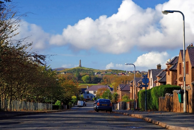
Image: © Stephen Branley Taken: 17 Nov 2007
Named after Lord Leverhulme, who bought the island in 1918, it looks out onto the Lewis & Harris War Memorial.
Images are licensed for reuse under creativecommons.org/licenses/by-sa/2.0
Image Location
Latitude
58.21469
Longitude
-6.383229