Green lane, Llatho.
Introduction
The photograph on this page of Green lane, Llatho. by Richard Webb as part of the Geograph project.
The Geograph project started in 2005 with the aim of publishing, organising and preserving representative images for every square kilometre of Great Britain, Ireland and the Isle of Man.

There are currently over 7.5m images from over 14,400 individuals and you can help contribute to the project by visiting https://www.geograph.org.uk
Green lane, Llatho.
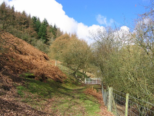
Image: © Richard Webb Taken: 7 Mar 2004
A green lane, now bridleway running up on to the common grazings of Aberedw Hill. These routes, now adapted for tractors and all terrain vehicles are often gently graded running at an angle across steep hillsides.
Images are licensed for reuse under creativecommons.org/licenses/by-sa/2.0
Image Location


Leaflet Map data © OpenStreetMap
Latitude
52.145672
Longitude
-3.294745