Pond near Upper South Farm 2
Introduction
The photograph on this page of Pond near Upper South Farm 2 by Andy Gryce as part of the Geograph project.
The Geograph project started in 2005 with the aim of publishing, organising and preserving representative images for every square kilometre of Great Britain, Ireland and the Isle of Man.

There are currently over 7.5m images from over 14,400 individuals and you can help contribute to the project by visiting https://www.geograph.org.uk
Pond near Upper South Farm 2
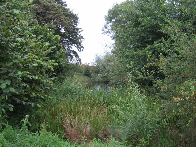
Image: © Andy Gryce Taken: 17 Aug 2008
Looking north, this is another view of the pond in the middle of the earthworks just off the road to Doddershall House, see Image
Images are licensed for reuse under creativecommons.org/licenses/by-sa/2.0
Image Location
Latitude
51.871233
Longitude
-0.945173