Battery near Upper South Farm
Introduction
The photograph on this page of Battery near Upper South Farm by Andy Gryce as part of the Geograph project.
The Geograph project started in 2005 with the aim of publishing, organising and preserving representative images for every square kilometre of Great Britain, Ireland and the Isle of Man.

There are currently over 7.5m images from over 14,400 individuals and you can help contribute to the project by visiting https://www.geograph.org.uk
Battery near Upper South Farm
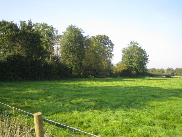
Image: © Andy Gryce Taken: 27 Sep 2008
Looking north from the road that runs west to Doddeshall House, the line of trees on a slight embankment to the left mark the eastern side of a possible Civil War battery. A battery is a line of artillery, often positioned on a hill or fortified by earthworks. On the 1:25,000 map it is marked Civil War Battery, and on the 1:10,000 map as Earthwork with hatch marks. There is an area of raised ground behind trees, as well as a pond, and this site has been interpreted as a Civil War defence but this is tentative.
Images are licensed for reuse under creativecommons.org/licenses/by-sa/2.0
Image Location
Latitude
51.871051
Longitude
-0.944887