Mile End, Aberdeen.
Introduction
The photograph on this page of Mile End, Aberdeen. by Colin Smith as part of the Geograph project.
The Geograph project started in 2005 with the aim of publishing, organising and preserving representative images for every square kilometre of Great Britain, Ireland and the Isle of Man.

There are currently over 7.5m images from over 14,400 individuals and you can help contribute to the project by visiting https://www.geograph.org.uk
Mile End, Aberdeen.
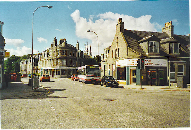
Image: © Colin Smith Taken: Unknown
Victorian granite suburbia at the top of Rosemount Place. The fork behind the bus is Beechgrove Terrace to left and Mid Stocket Road to right, both main routes from the city. "Cosy Carpets" on the corner of Argyll Place here occupies a former villa.
Images are licensed for reuse under creativecommons.org/licenses/by-sa/2.0
Image Location


Leaflet Map data © OpenStreetMap
Latitude
57.149322
Longitude
-2.123772