Hutton Hall Fields
Introduction
The photograph on this page of Hutton Hall Fields by Mick Garratt as part of the Geograph project.
The Geograph project started in 2005 with the aim of publishing, organising and preserving representative images for every square kilometre of Great Britain, Ireland and the Isle of Man.

There are currently over 7.5m images from over 14,400 individuals and you can help contribute to the project by visiting https://www.geograph.org.uk
Hutton Hall Fields
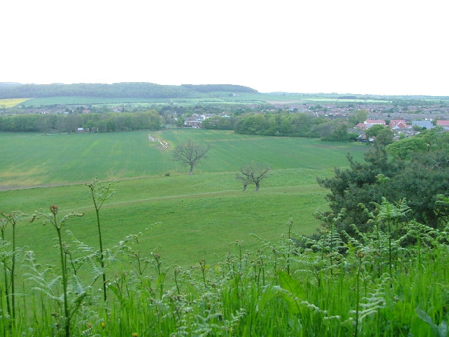
Image: © Mick Garratt Taken: 24 May 2005
The former grounds of Hutton Hall now farmland. It can only be a matter of time before the encroaching housing estates of Guisborough (upper right) take over.
Images are licensed for reuse under creativecommons.org/licenses/by-sa/2.0
Image Location
Latitude
54.522188
Longitude
-1.066823