Butt Lane Bridge
Introduction
The photograph on this page of Butt Lane Bridge by Mick Garratt as part of the Geograph project.
The Geograph project started in 2005 with the aim of publishing, organising and preserving representative images for every square kilometre of Great Britain, Ireland and the Isle of Man.

There are currently over 7.5m images from over 14,400 individuals and you can help contribute to the project by visiting https://www.geograph.org.uk
Butt Lane Bridge
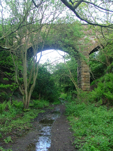
Image: © Mick Garratt Taken: 24 May 2005
The disused Cleveland Railway at Guisborough has been made into a walk/cycle way except for about a kilometre at this point. Through this cutting there is frequently running water up to three inches deep. The bridge carries the track known locally as Butt lane.
Images are licensed for reuse under creativecommons.org/licenses/by-sa/2.0
Image Location


Leaflet Map data © OpenStreetMap
Latitude
54.530931
Longitude
-1.035718