2009 : Holcombe crossroads
Introduction
The photograph on this page of 2009 : Holcombe crossroads by Maurice Pullin as part of the Geograph project.
The Geograph project started in 2005 with the aim of publishing, organising and preserving representative images for every square kilometre of Great Britain, Ireland and the Isle of Man.

There are currently over 7.5m images from over 14,400 individuals and you can help contribute to the project by visiting https://www.geograph.org.uk
2009 : Holcombe crossroads
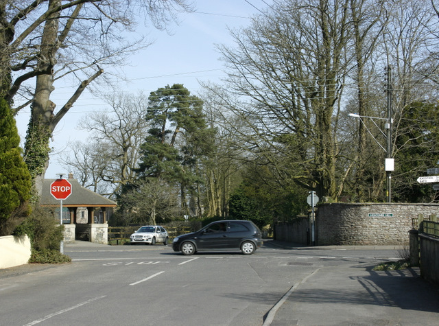
Image: © Maurice Pullin Taken: 22 Mar 2009
Seen from Stratton Road, Brewery Lane is straight ahead, Charlton Road to the left and Holcombe Hill to the right. The signpost to Radstock and Bath was fitted to the edge of the frame at no extra charge.
Images are licensed for reuse under creativecommons.org/licenses/by-sa/2.0
Image Location
Latitude
51.246331
Longitude
-2.471732