Westwell Water Works
Introduction
The photograph on this page of Westwell Water Works by Mike Sharpe as part of the Geograph project.
The Geograph project started in 2005 with the aim of publishing, organising and preserving representative images for every square kilometre of Great Britain, Ireland and the Isle of Man.

There are currently over 7.5m images from over 14,400 individuals and you can help contribute to the project by visiting https://www.geograph.org.uk
Westwell Water Works
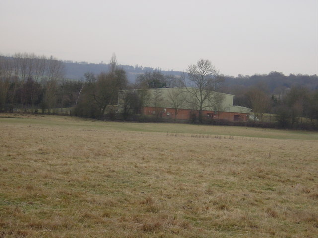
Image: © Mike Sharpe Taken: 4 Jan 2009
A modern low-impact building for an established well. The works is squarely on the Gault Clay. There is also a geological borehole here which taps down to the underlying Atherfield Clay via the sandier Folkestone, Sandgate and Hythe beds. Formerly Mid Kent Water Company, now Southern Water.
Images are licensed for reuse under creativecommons.org/licenses/by-sa/2.0
Image Location
Latitude
51.181223
Longitude
0.855894