Chaloners Road, York
Introduction
The photograph on this page of Chaloners Road, York by John Armitstead as part of the Geograph project.
The Geograph project started in 2005 with the aim of publishing, organising and preserving representative images for every square kilometre of Great Britain, Ireland and the Isle of Man.

There are currently over 7.5m images from over 14,400 individuals and you can help contribute to the project by visiting https://www.geograph.org.uk
Chaloners Road, York
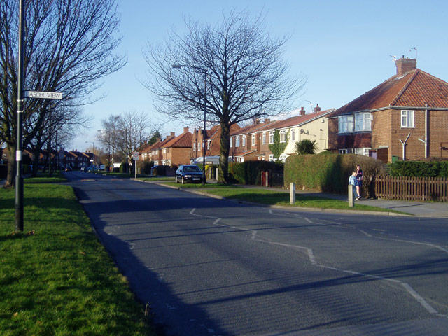
Image: © John Armitstead Taken: 18 Feb 2006
This grid square is almost empty on the 1940s map, but has now been filled with late-20th Century housing developments.
Images are licensed for reuse under creativecommons.org/licenses/by-sa/2.0
Image Location


Leaflet Map data © OpenStreetMap
Latitude
53.939285
Longitude
-1.119484