A track and two hills
Introduction
The photograph on this page of A track and two hills by John S Turner as part of the Geograph project.
The Geograph project started in 2005 with the aim of publishing, organising and preserving representative images for every square kilometre of Great Britain, Ireland and the Isle of Man.

There are currently over 7.5m images from over 14,400 individuals and you can help contribute to the project by visiting https://www.geograph.org.uk
A track and two hills
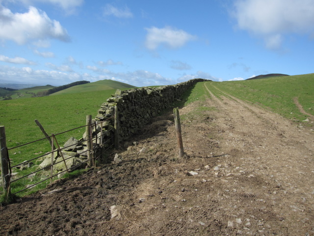
Image: © John S Turner Taken: 8 Apr 2009
Looking towards Moel Eithinen on the left, with its shelter belt of trees, and on the right the top of the hillfort, Foel Fenlli.
Images are licensed for reuse under creativecommons.org/licenses/by-sa/2.0
Image Location
Latitude
53.131801
Longitude
-3.228692