A view through a hole in the wall
Introduction
The photograph on this page of A view through a hole in the wall by John S Turner as part of the Geograph project.
The Geograph project started in 2005 with the aim of publishing, organising and preserving representative images for every square kilometre of Great Britain, Ireland and the Isle of Man.

There are currently over 7.5m images from over 14,400 individuals and you can help contribute to the project by visiting https://www.geograph.org.uk
A view through a hole in the wall
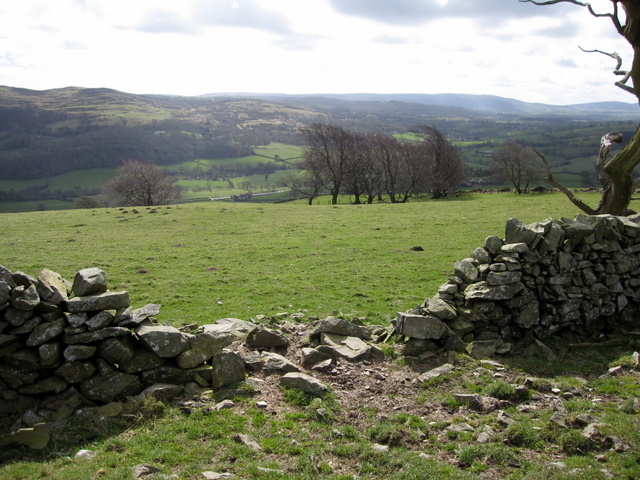
Image: © John S Turner Taken: 8 Apr 2009
An expansive view through the collapsed wall alongside the track below Fron Hen. Far below in the valley the A494 links the market towns of Mold to the left, with Ruthin to the right.
Images are licensed for reuse under creativecommons.org/licenses/by-sa/2.0
Image Location
Latitude
53.131996
Longitude
-3.227202