Branscombe: towards the Village Hall
Introduction
The photograph on this page of Branscombe: towards the Village Hall by Martin Bodman as part of the Geograph project.
The Geograph project started in 2005 with the aim of publishing, organising and preserving representative images for every square kilometre of Great Britain, Ireland and the Isle of Man.

There are currently over 7.5m images from over 14,400 individuals and you can help contribute to the project by visiting https://www.geograph.org.uk
Branscombe: towards the Village Hall
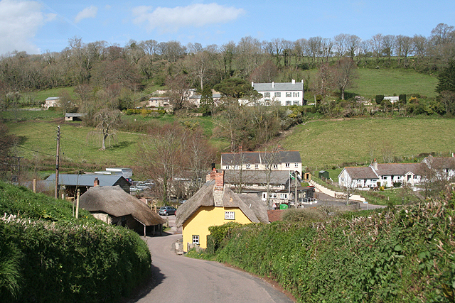
Image: © Martin Bodman Taken: 8 Apr 2009
With the National Trust’s Forge on the left and Old Bakery on the right of the lane. A public car park is provided by the village hall – seen beyond the bakery – and there is a smaller National Trust car park adjacent to it
Images are licensed for reuse under creativecommons.org/licenses/by-sa/2.0
Image Location
Latitude
50.692396
Longitude
-3.137082